Canvey Concept
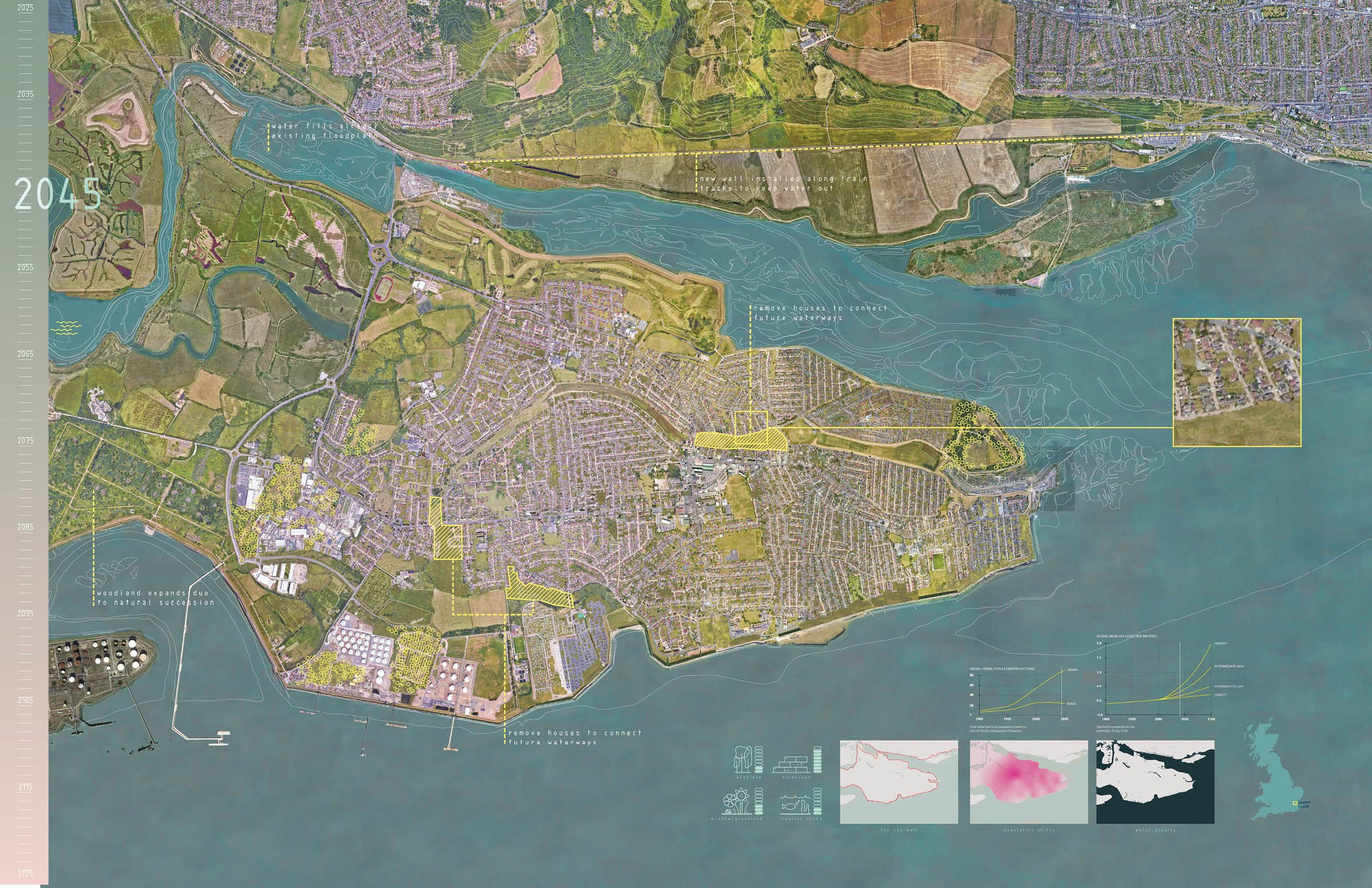
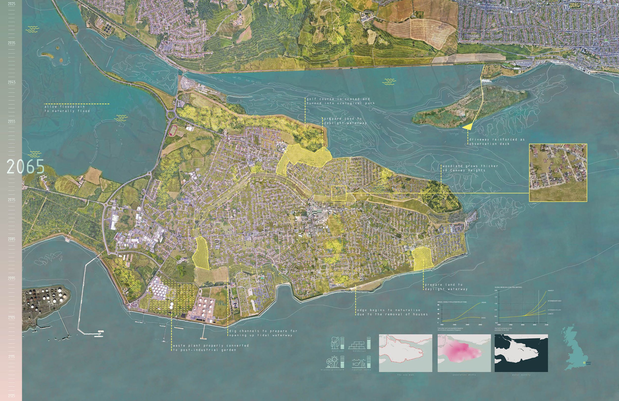
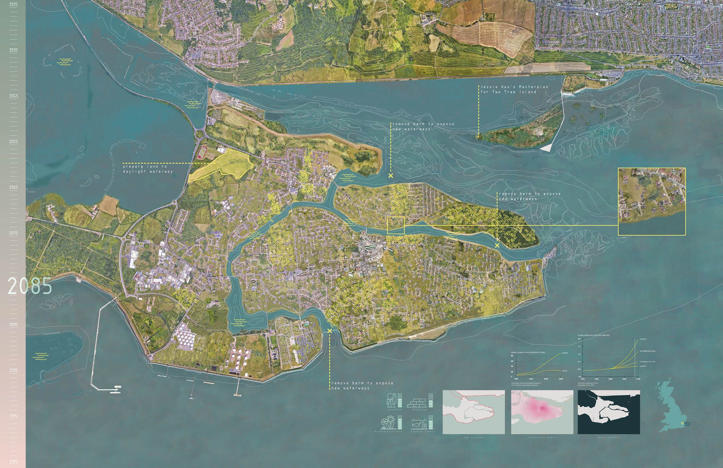
This project speculates how rural and suburban communities could deconstruct themselves and use the materials to build new infrastructure that embraces high water and prepares them for smaller populations.
If climate change complacency continues, the reality that our world will lose places people call “home” is inevitable. Sea levels are expected to rise by an eighth of an inch each year, and extreme weather events will become stronger and more frequent. “Livable” places will soon become uncomfortable for people unwilling to adapt.


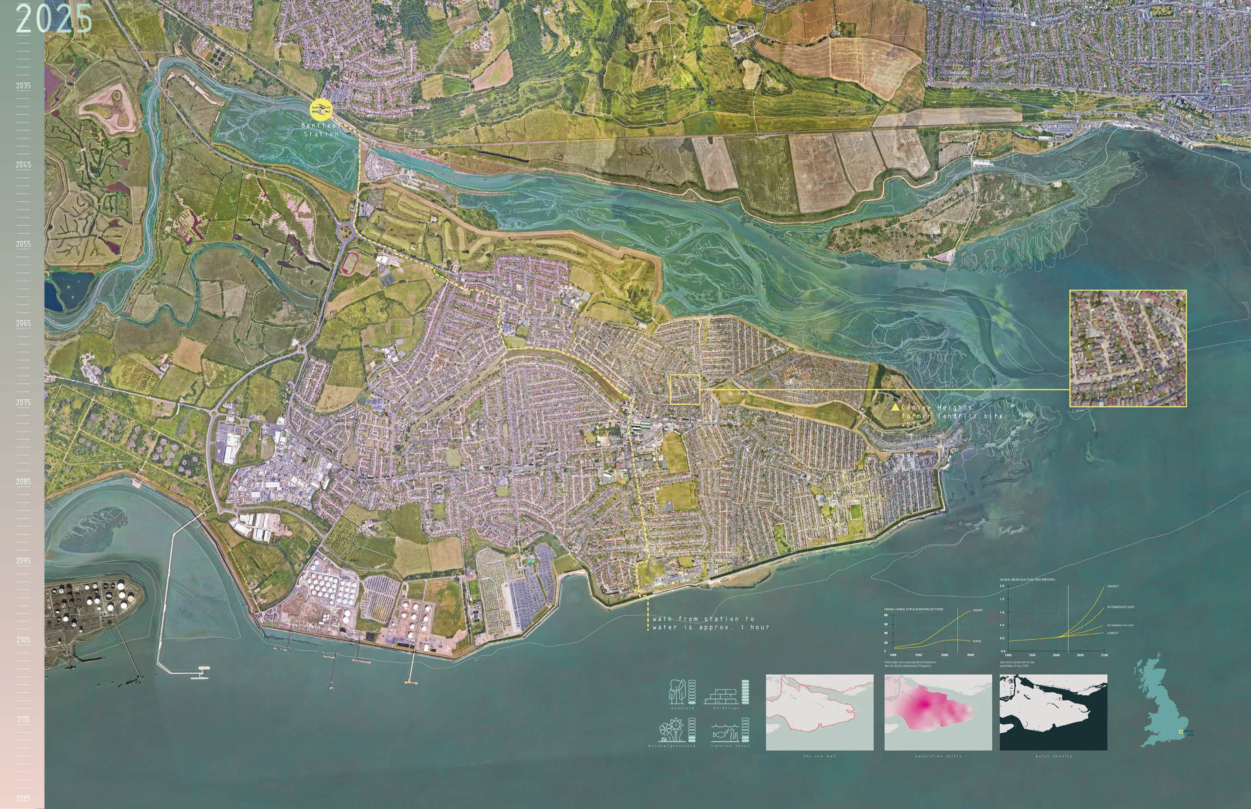
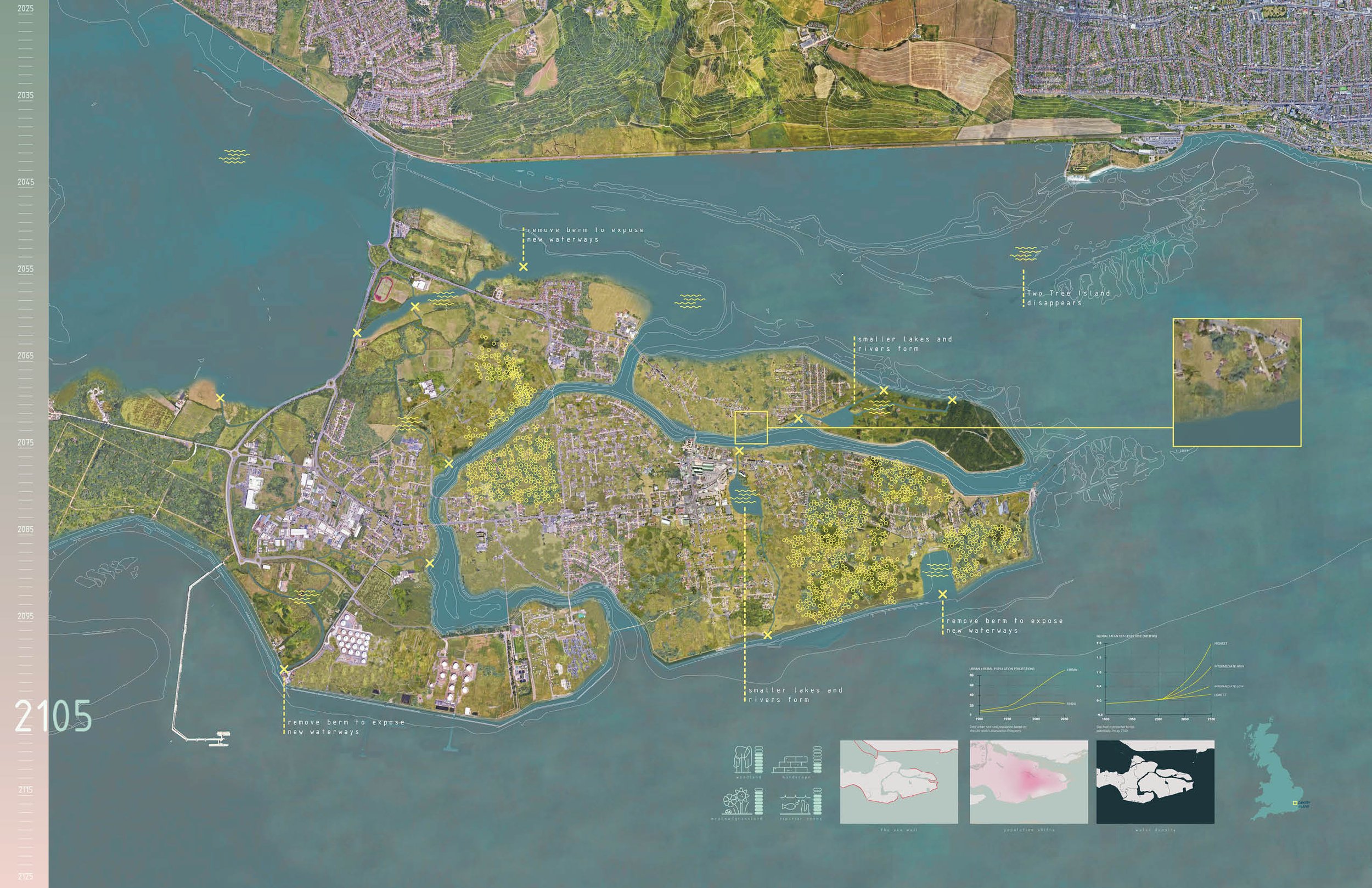
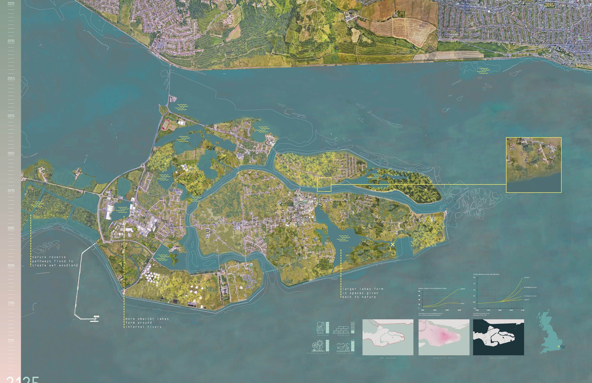
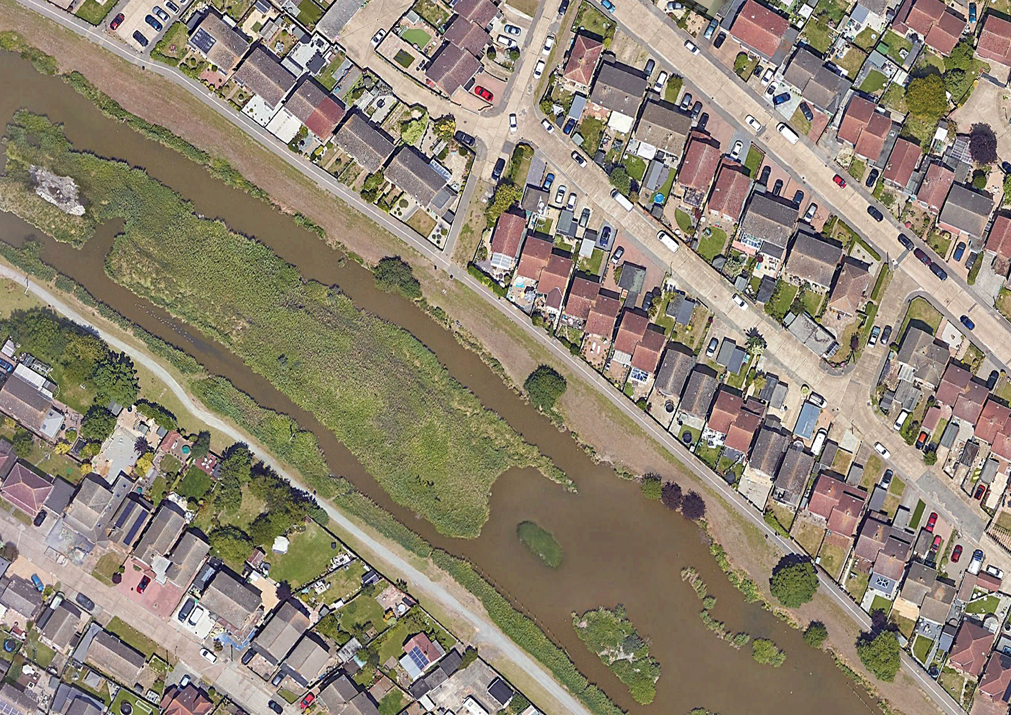
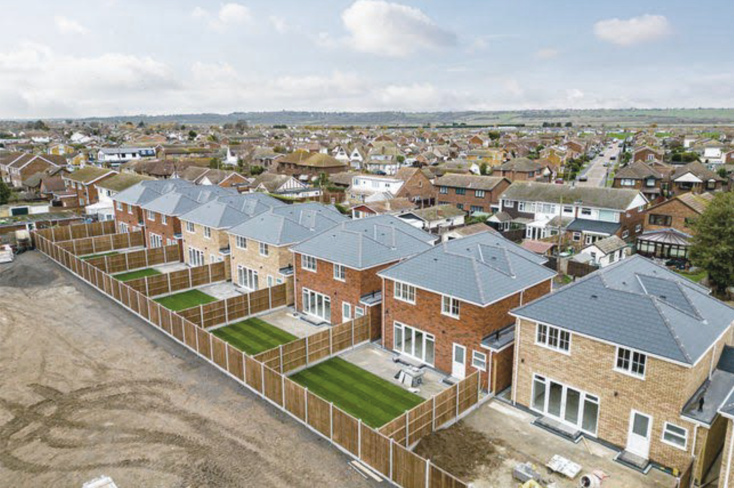
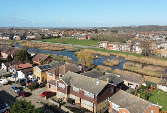
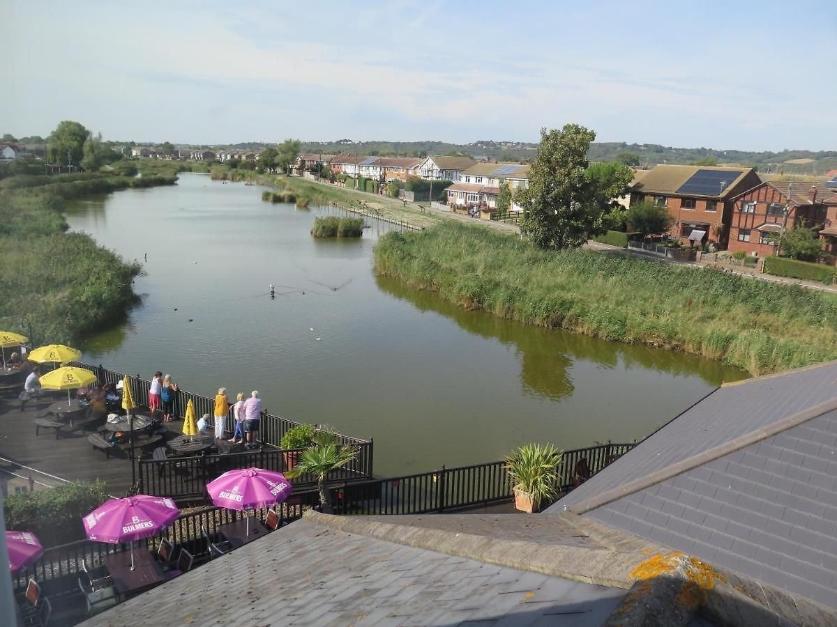
Canvey Island sits on the easternmost edge of the Thames Estuary. Most of its land mass sits at or below sea level, with one “high point” that consists of an old landfill site. The island was devastated by a surge flood in 1953, where much of the outer edge was covered by water. The island only has one way in and one way out. As people evacuated, 58 lost their lives in the rush off the island. After the flood, measures were taken to protect the island from future surge floods by forming a concrete flood wall around the island.


Canvey Island uses structural mechanisms to separate itself from the sea. The concrete wall surrounding the entire island is so big that the water is not visible. To view the ocean, people must be on the wall’s seaside.


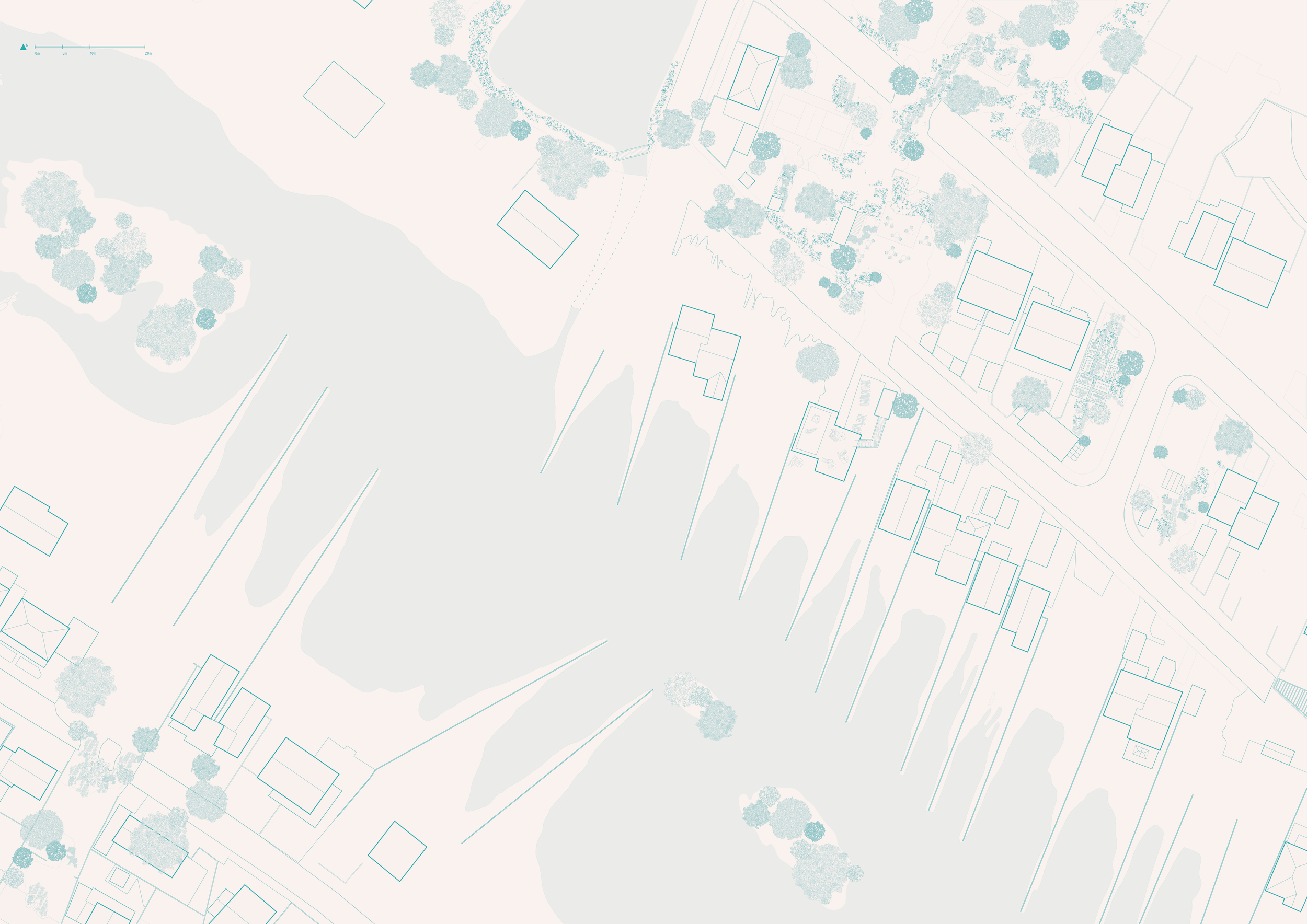
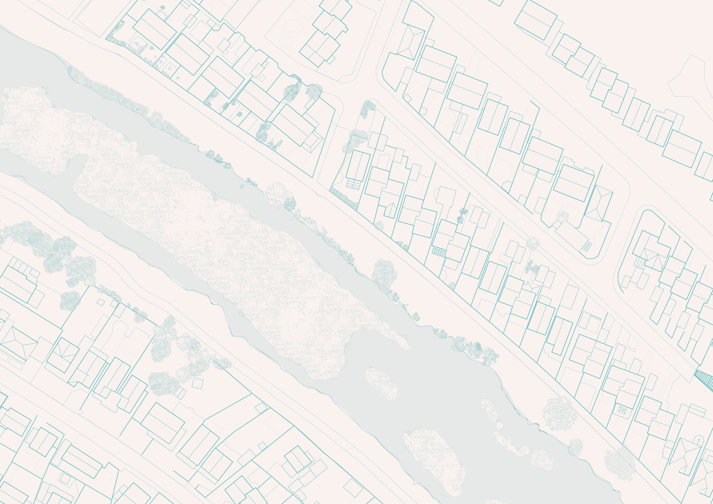
Site Analysis Palimpsest which includes research and observation to get to know Canvey Island.

Galen Newman and Zixu Qiao break up strategies in Landscape Architecture for Sea Level Rise into three categories; structural, non-structural, and hybrid. Using these principles and case studies from the book, I began mapping different techniques on the island.
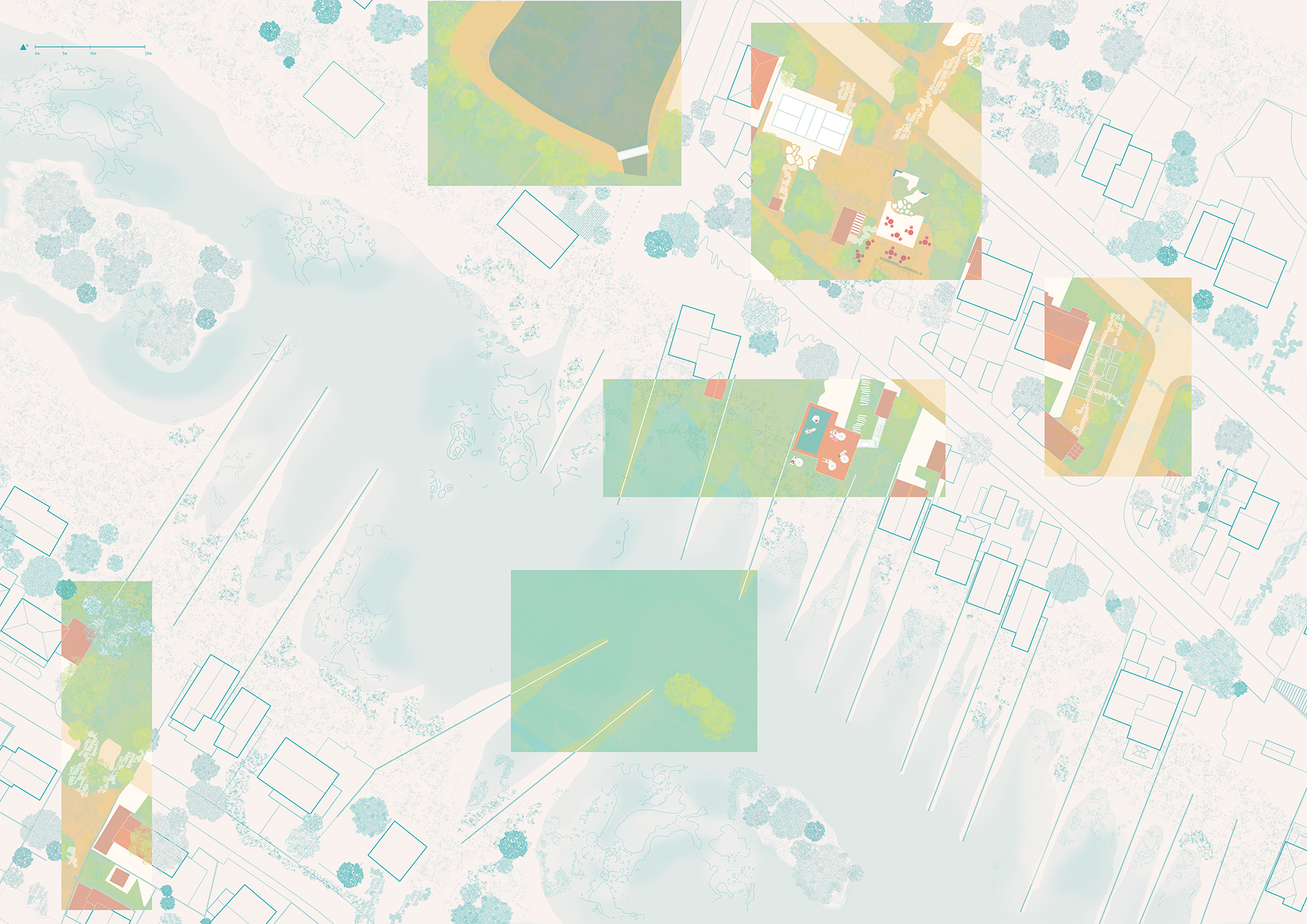
To help illustrate these strategies, I developed a comic that shows what happens on the island over time on the ground.


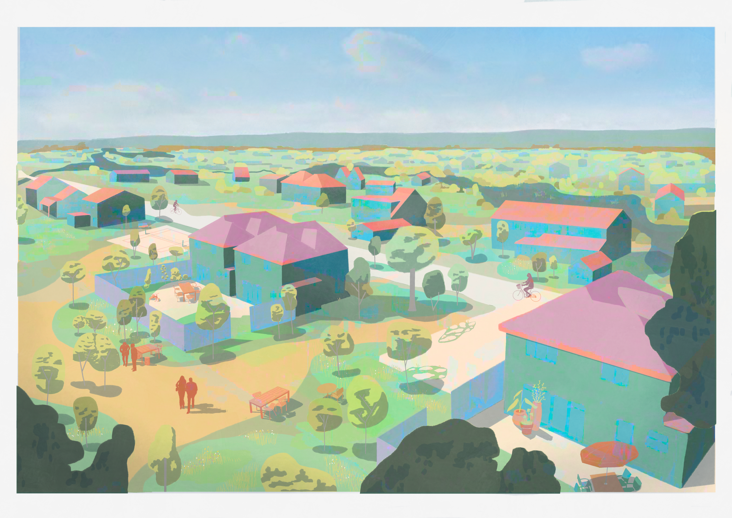
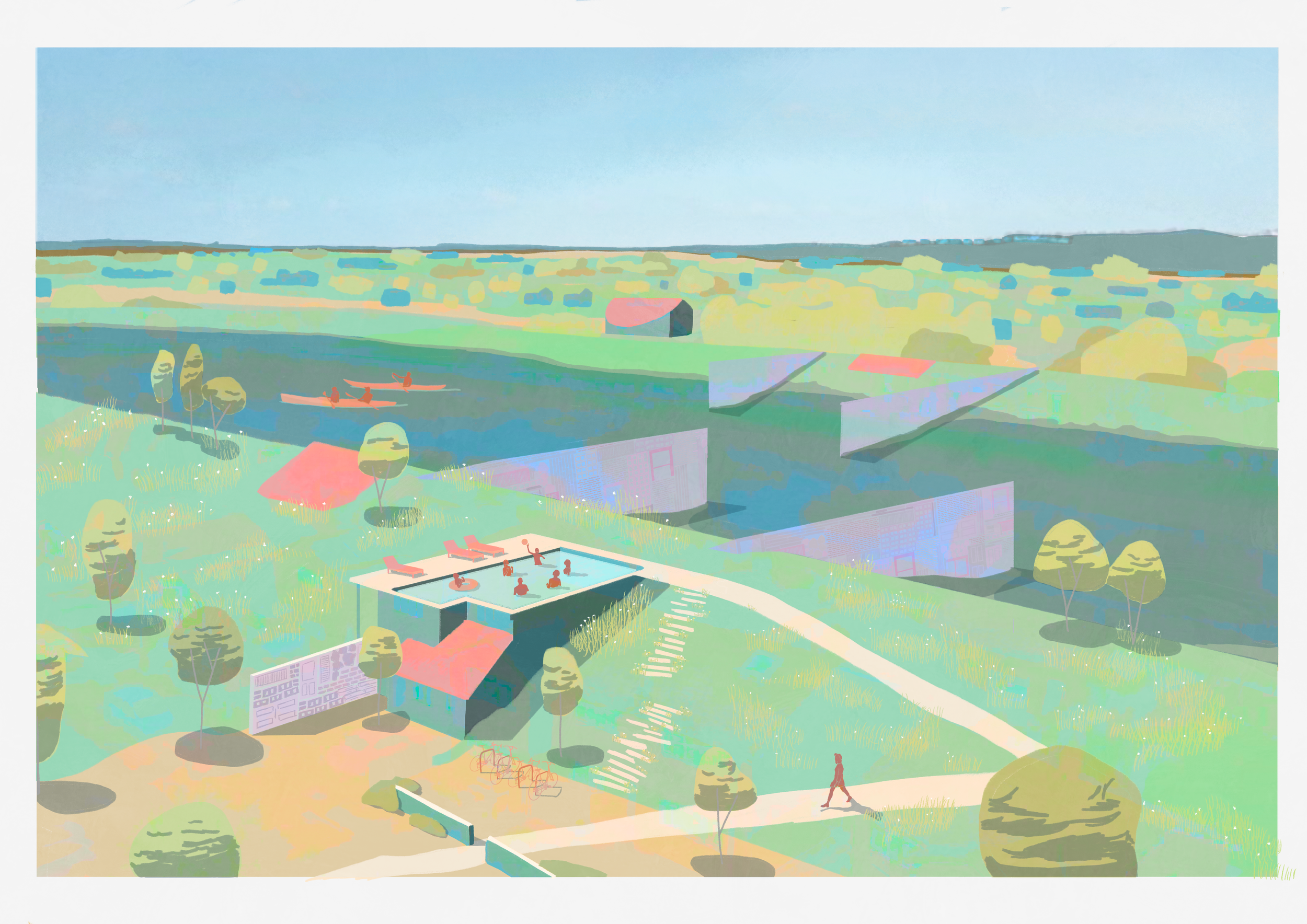
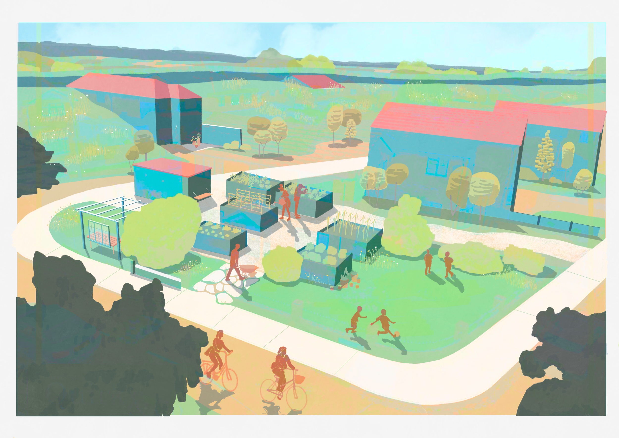
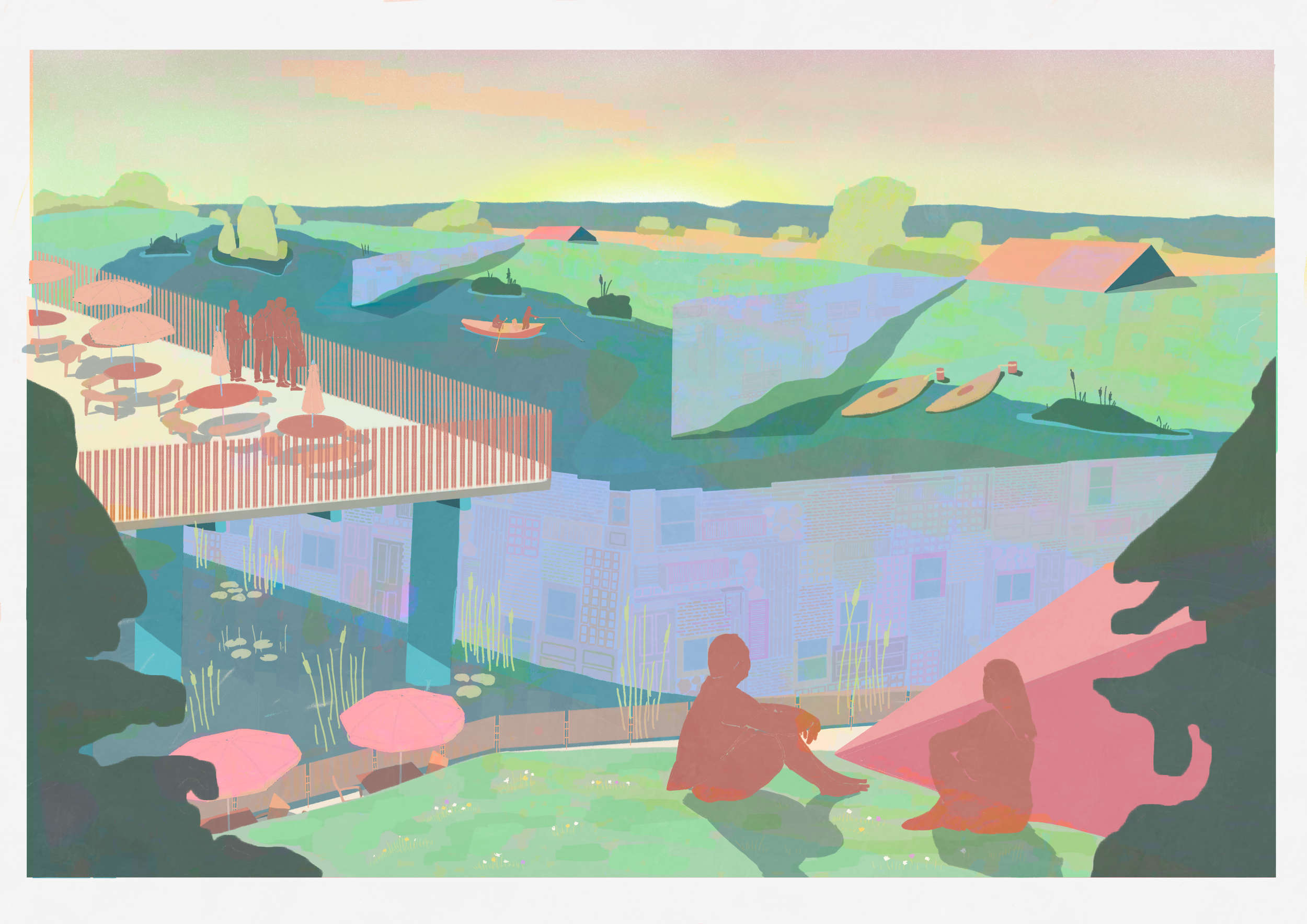
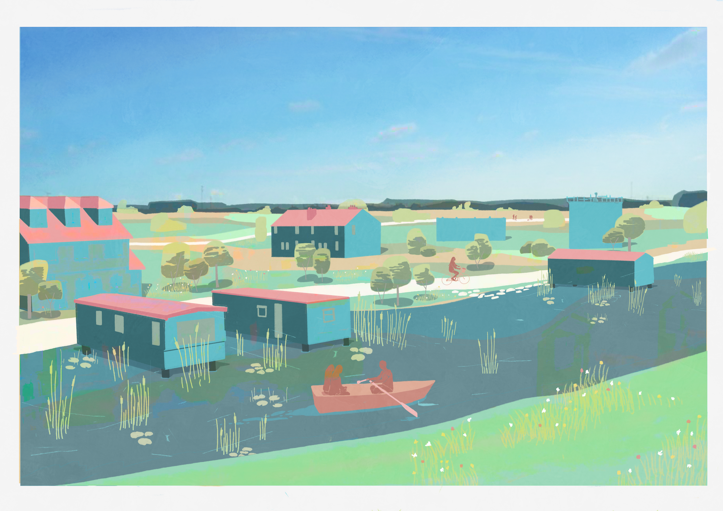
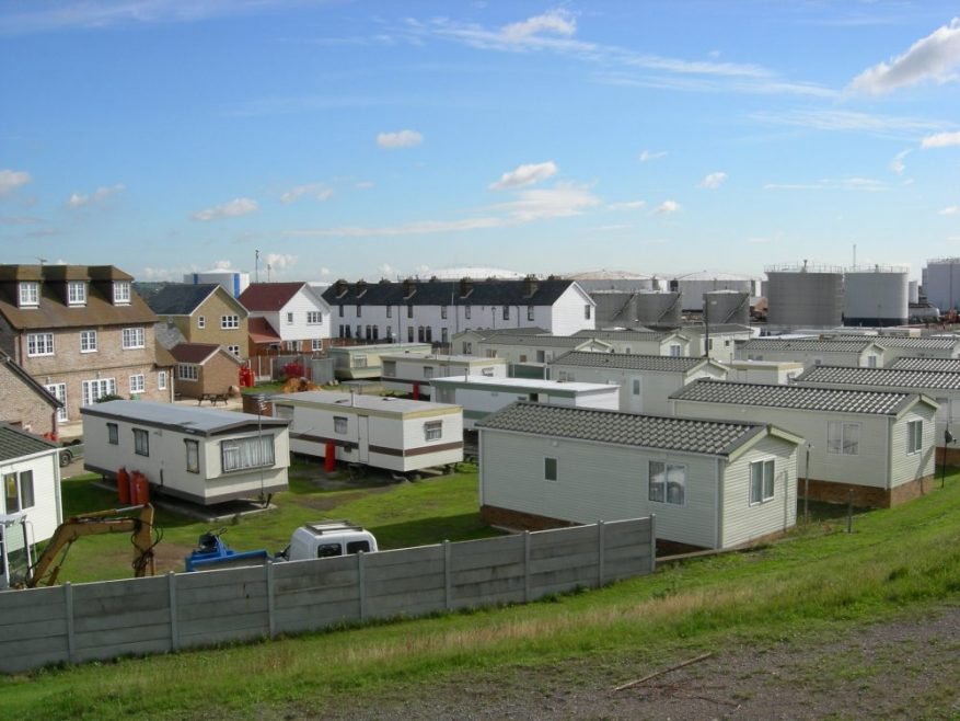
There are three different strategies for different property types: general residential plots, plots along or above hidden waterways, and historically significant plots. Each property type will be reused, adapted, or protected depending on the plot’s conditions and contents. These strategies would unlock new public spaces for the community while also adding to the island’s biodiversity.

Modelling a potential water filter for new banks between land and water.

Materials and site drawings of Canvey Island.